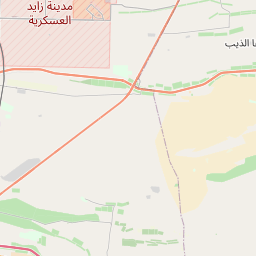
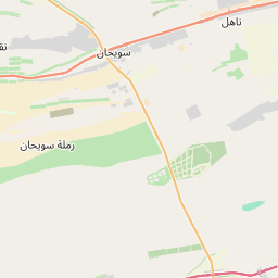
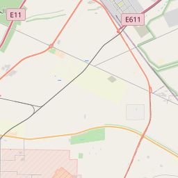
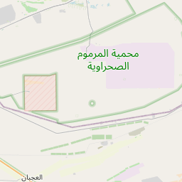
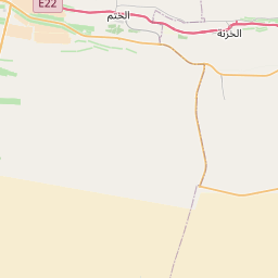
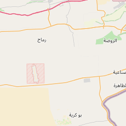
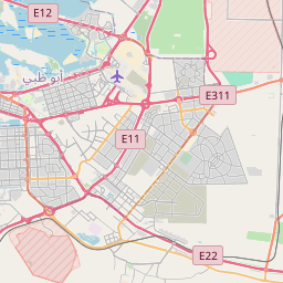
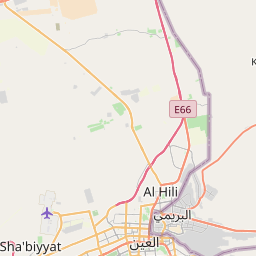
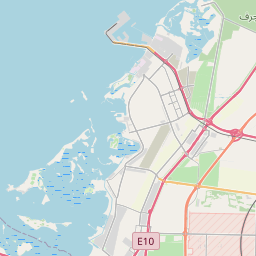
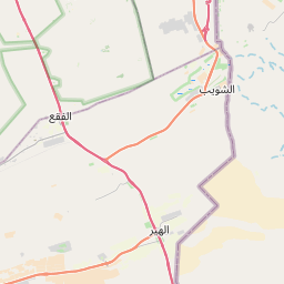
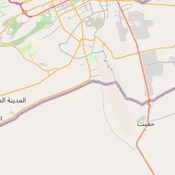
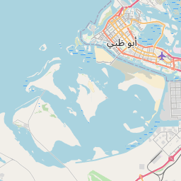
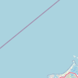
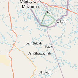
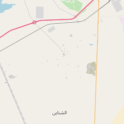
Get ready for a fun trip from Zayed International Airport, Al Kouwthar Street, New Shahama, Rawdat Al Reef, Abu Dhabi, Abu Dhabi Emirate, United Arab Emirates to Al Ain, Al Mutarad, Al Ain, Abu Dhabi Emirate, United Arab Emirates. This journey is great for friends or family who like taking turns driving or traveling together.
How far? Driving distance is 148.54 kilometers (92.30 miles)
How long? About 1 h 31 min by car
You'll have all the details for your journey from the vibrant Zayed International Airport, Al Kouwthar Street, New Shahama, Rawdat Al Reef, Abu Dhabi, Abu Dhabi Emirate, United Arab Emirates to the energetic Al Ain, Al Mutarad, Al Ain, Abu Dhabi Emirate, United Arab Emirates, ensuring a smooth adventure ahead. Enjoy your trip! Travel options include Car, Public Transport, or any other preferred method.
Drive Cost Calculator - Abu Dhabi Airport AUH to Al Ain City
Directions from Abu Dhabi Airport AUH, United Arab Emirates to Al Ain City, United Arab Emirates


We'd Love to Hear from You!
Your thoughts and insights are important to us. Be the first to share your comments on this topic!