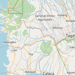
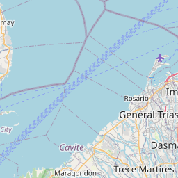
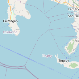
Get ready for a fun trip from Batangas, Calabarzon, Philippines to Las Piñas, 1st District, Southern Manila District, Metro Manila, 1742, Philippines. This journey is great for friends or family who like taking turns driving or traveling together.
How far? Driving distance is 78.74 kilometers (48.93 miles)
How long? About 1 h 13 min by car
You'll have all the details for your journey from the vibrant Batangas, Calabarzon, Philippines to the energetic Las Piñas, 1st District, Southern Manila District, Metro Manila, 1742, Philippines, ensuring a smooth adventure ahead. Enjoy your trip! Travel options include Car, Public Transport, or any other preferred method.
Drive Cost Calculator - Batangas to Las Piñas
Directions from Batangas, Philippines to Las Piñas, Philippines
Southern Tagalog Arterial Road, South Luzon Expressway
78.7 km, 1 h 13 min
| Head east | 150 m |
| Turn left | 250 m |
| Turn right | 400 m |
| Turn left | 1 km |
| Turn right onto National Highway 433 (433) | 2.5 km |
| Merge right onto President Jose P. Laurel Highway (4) | 4 km |
| Take the ramp on the left towards Malvar | 300 m |
| Continue towards Malvar | 300 m |
| Merge left onto Southern Tagalog Arterial Road (E2) | 20 km |
| Continue onto South Luzon Expressway (E2) | 35 km |
| Keep left onto South Luzon Expressway (E2) | 6 km |
| Take the ramp towards Sucat | 200 m |
| Turn left onto Dr. A. Santos Avenue (63) | 7 km |
| Make a U-turn and continue on Dr. A. Santos Avenue (63) | 200 m |
| Turn right towards C-5: Las Piñas | 200 m |
| Go straight onto C-5 Road Extension (C-5) | 450 m |
| Turn right onto Villareal Street | 450 m |
| Turn left onto P. Diego Cera Avenue (62) | 500 m |
| You have arrived at your destination, on the left | 0 m |


We'd Love to Hear from You!
Your thoughts and insights are important to us. Be the first to share your comments on this topic!