Get ready for a fun trip from Gander International Airport, Snowshoe Trail, Gander, Newfoundland, Newfoundland and Labrador, A1V 2L9, Canada to Twillingate, Newfoundland, Newfoundland and Labrador, A0G 4M0, Canada. This journey is great for friends or family who like taking turns driving or traveling together.
How far? Driving distance is 114.20 kilometers (70.96 miles)
How long? About 1 h 47 min by car
You'll have all the details for your journey from the vibrant Gander International Airport, Snowshoe Trail, Gander, Newfoundland, Newfoundland and Labrador, A1V 2L9, Canada to the energetic Twillingate, Newfoundland, Newfoundland and Labrador, A0G 4M0, Canada, ensuring a smooth adventure ahead. Enjoy your trip! Travel options include Car, Public Transport, or any other preferred method.
Drive Cost Calculator - Gander Airport YQX to Twillingate
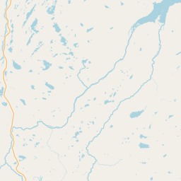
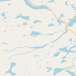
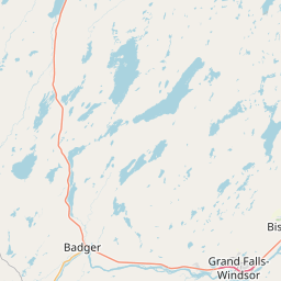
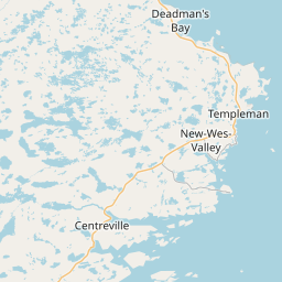
Directions from Gander Airport YQX, Canada to Twillingate, Canada
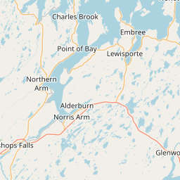
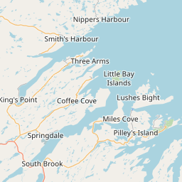
Gander Bay Highway, 340
114.2 km, 1 h 47 min
| Head northwest | 150 m |
| Turn right onto C.L. Dobbin Drive | 100 m |
| Turn left onto Power Street | 450 m |
| Turn right onto C.L. Dobbin Drive | 150 m |
| Turn left onto James Boulevard | 1.5 km |
| Turn right onto Cooper Boulevard (330) | 3.5 km |
| Continue onto Gander Bay Road (330) | 10 km |
| Continue onto Gander Bay Highway (330) | 25 km |
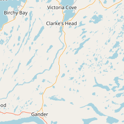
| Turn left onto Highway 331 (331) | 1 km |
| Continue slightly right onto Victoria Cove Road (331) | 7 km |
| Continue onto Highway 331 (331) | 20 km |
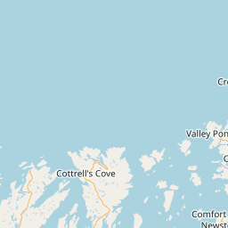
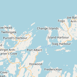
| Turn right onto 340 | 45 km |
| Turn right onto Main Street | 90 m |
| You have arrived at your destination, on the left | 0 m |


We'd Love to Hear from You!
Your thoughts and insights are important to us. Be the first to share your comments on this topic!