From 📍 Johannesburg Airport JNB, South Africa to ➡️ Gaborone, Botswana
Get ready for a fun trip from OR Tambo International Airport, Rondebult Road, Witkoppie Ridge, Ekurhuleni Ward 92, City of Ekurhuleni Metropolitan Municipality, Gauteng, 1462, South Africa to Gaborone, South-East District, Botswana. This journey is great for friends or family who like taking turns driving or traveling together.
How far? Driving distance is 417.05 kilometers (259.14 miles)
Sky's the Limit - Direct Flight Distance is 286.47 km (178 miles)
Flight time: 0 h 37 m
You'll have all the details for your journey from the vibrant OR Tambo International Airport, Rondebult Road, Witkoppie Ridge, Ekurhuleni Ward 92, City of Ekurhuleni Metropolitan Municipality, Gauteng, 1462, South Africa to the energetic Gaborone, South-East District, Botswana, ensuring a smooth adventure ahead. Enjoy your trip! Travel options include Car, Public Transport, Flights, or any other preferred method.
Drive Cost Calculator - Johannesburg Airport JNB to Gaborone
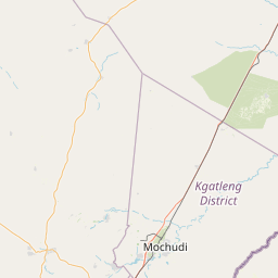
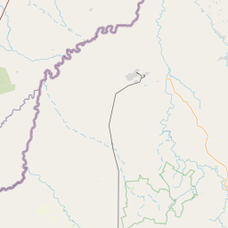
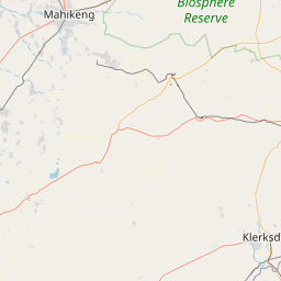
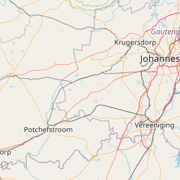
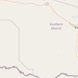
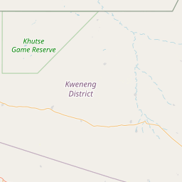
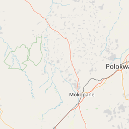
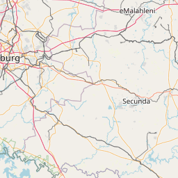
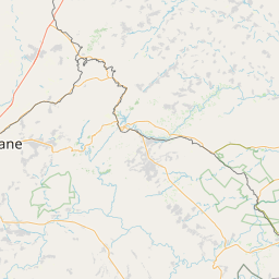
Directions from Johannesburg Airport JNB, South Africa to Gaborone, Botswana
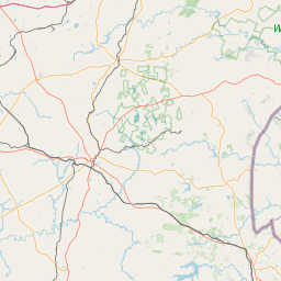
Halfway Point Location between Johannesburg Airport JNB and Gaborone
Searching for the perfect stopover on your drive between Johannesburg Airport JNB and Gaborone? Below, discover comprehensive details about the ideal halfway point to enhance your journey, whether you're seeking rest, a meal, or a bit of exploration.
Field
Value
Road
N4
Suburb
Kgetlengrivier Ward 2
Town
Swartruggens
City
Kgetleng River Local Municipality
County
Bojanala Platinum District Municipality
State
North West
ISO3166-2-lvl4
ZA-NW
Country
South Africa
Country Code
za
Latitude
-25.65178
Longitude
26.7623
GPS (D° M' S")
25° -39' 6.408" S 26° 45' 44.280" E
Johannesburg Airport JNB, South Africa
Geographical Coordinates (D° M' S")
26° -8' 9.647" S 28° 14' 41.917" E
Latitude
-26.1360131
Longitude
28.24497701889355
Gaborone, Botswana
Geographical Coordinates (D° M' S")
24° -39' 29.289" S 25° 54' 31.851" E
Latitude
-24.6581357
Longitude
25.9088474
We'd Love to Hear from You!
Your thoughts and insights are important to us. Be the first to share your comments on this topic!


We'd Love to Hear from You!
Your thoughts and insights are important to us. Be the first to share your comments on this topic!