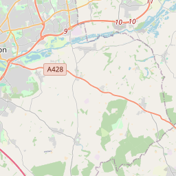
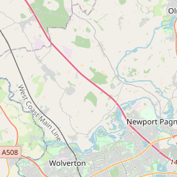
Get ready for a fun trip from Newport Pagnell, City of Milton Keynes, England, United Kingdom to Northampton, West Northamptonshire, England, United Kingdom. This journey is great for friends or family who like taking turns driving or traveling together.
How far? Driving distance is 30.92 kilometers (19.21 miles)
How long? About 26 min by car
You'll have all the details for your journey from the vibrant Newport Pagnell, City of Milton Keynes, England, United Kingdom to the energetic Northampton, West Northamptonshire, England, United Kingdom, ensuring a smooth adventure ahead. Enjoy your trip! Travel options include Car, Public Transport, or any other preferred method.
Drive Cost Calculator - Newport Pagnell to Northampton
Directions from Newport Pagnell, United Kingdom to Northampton, United Kingdom
M1, London Road
30.9 km, 26 min
| Head west on High Street | 350 m |
| Turn left onto Marsh End Road | 1 km |
| Enter Marsh End Roundabout and take the 2nd exit onto Willen Road | 55 m |
| Exit the traffic circle onto Willen Road | 900 m |
| Enter Tongwell Roundabout and take the 1st exit onto V11 Tongwell Street | 9 m |
| Exit the traffic circle onto V11 Tongwell Street | 1.5 km |
| Enter Pineham Roundabout and take the 1st exit onto H5 Portway (A509) | 8 m |
| Exit the traffic circle onto H5 Portway (A509) | 700 m |
| Enter Northfield Roundabout and take the 1st exit onto Portway (A509) | 6 m |
| Exit the traffic circle onto Portway (A509) | 450 m |
| Take the ramp on the left towards The NORTH | 550 m |
| Merge right onto M1 | 20 km |
| Take the ramp on the left | 350 m |
| Keep right at the fork | 350 m |
| Continue onto London Road (A45) | 3 km |
| Take the ramp on the left | 250 m |
| Enter Queen Eleanor Roundabout and take the 2nd exit onto London Road (A508) | 80 m |
| Exit the traffic circle onto London Road (A508) | 1.5 km |
| Continue onto Cotton End (A508) | 600 m |
| Turn left onto St Peters Way (A428) | 300 m |
| Enter the traffic circle and take the 1st exit onto Towcester Road (A5123) | 5 m |
| Exit the traffic circle onto Towcester Road (A5123) | 100 m |
| You have arrived at your destination, on the left | 0 m |
Eakley Lanes, Bedford Road
25.9 km, 27 min
| Head east on High Street | 350 m |
| Continue onto Lathbury Bridge (B526) | 100 m |
| Continue onto Northampton Road (B526) | 7 km |
| Continue onto High Street (B526) | 1 km |
| Continue onto Eakley Lanes (B526) | 6 km |
| Continue onto Horton Road (B526) | 100 m |
| Turn right onto Brafield Road | 2 km |
| Continue onto Horton Road | 2.5 km |
| Turn left onto Bedford Road (A428) | 4 km |
| Enter the traffic circle and take the 2nd exit onto Bedford Road (A428) | 70 m |
| Exit the traffic circle onto Bedford Road (A428) | 450 m |
| Enter the traffic circle and take the 2nd exit onto Bedford Road (A428) | 30 m |
| Exit the traffic circle onto Bedford Road (A428) | 500 m |
| Enter Barnes Meadow and take the 2nd exit onto Bedford Road (A428) | 150 m |
| Exit the traffic circle onto Bedford Road (A428) | 1.5 km |
| Turn left onto Victoria Promenade (A5123) | 350 m |
| Enter the traffic circle and take the 1st exit onto Victoria Promenade (A5123) | 35 m |
| Exit the traffic circle onto Victoria Promenade (A5123) | 250 m |
| Merge left onto St Peters Way (A428) | 300 m |
| Enter the traffic circle and take the 1st exit onto Towcester Road (A5123) | 5 m |
| Exit the traffic circle onto Towcester Road (A5123) | 100 m |
| You have arrived at your destination, on the left | 0 m |


We'd Love to Hear from You!
Your thoughts and insights are important to us. Be the first to share your comments on this topic!