From 📍 Potchefstroom, South Africa to ➡️ Vanderbijlpark, South Africa
Get ready for a fun trip from Potchefstroom, Tlokwe Local Municipality, Dr Kenneth Kaunda District Municipality, North West, 2520, South Africa to Vanderbijlpark, Emfuleni Local Municipality, Sedibeng District Municipality, Gauteng, 1911, South Africa. This journey is great for friends or family who like taking turns driving or traveling together.
How far? Driving distance is 91.21 kilometers (56.68 miles)
You'll have all the details for your journey from the vibrant Potchefstroom, Tlokwe Local Municipality, Dr Kenneth Kaunda District Municipality, North West, 2520, South Africa to the energetic Vanderbijlpark, Emfuleni Local Municipality, Sedibeng District Municipality, Gauteng, 1911, South Africa, ensuring a smooth adventure ahead. Enjoy your trip! Travel options include Car, Public Transport, or any other preferred method.
Drive Cost Calculator - Potchefstroom to Vanderbijlpark
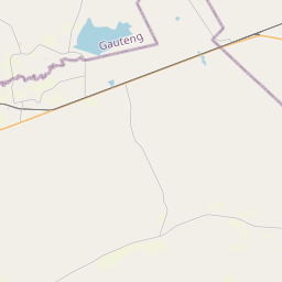
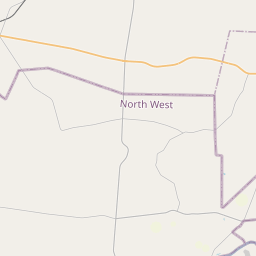
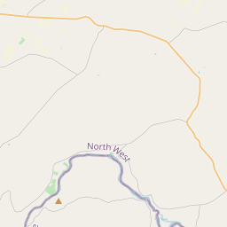
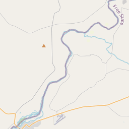
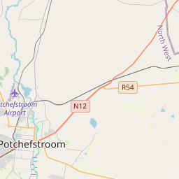
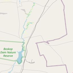
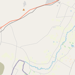
Directions from Potchefstroom, South Africa to Vanderbijlpark, South Africa
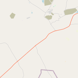
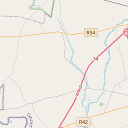
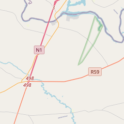
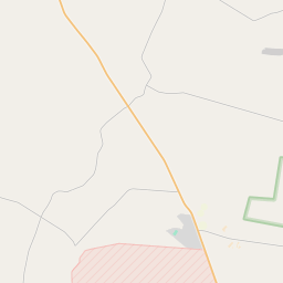
Halfway Point Location between Potchefstroom and Vanderbijlpark
Searching for the perfect stopover on your drive between Potchefstroom and Vanderbijlpark? Below, discover comprehensive details about the ideal halfway point to enhance your journey, whether you're seeking rest, a meal, or a bit of exploration.
Field
Value
Road
R54
Suburb
Merafong City Ward 22
City
Merafong City Local Municipality
County
West Rand District Municipality
State
Gauteng
ISO3166-2-lvl4
ZA-GP
Country
South Africa
Country Code
za
Latitude
-26.62628
Longitude
27.5119
GPS (D° M' S")
26° -37' 34.608" S 27° 30' 42.840" E
Potchefstroom, South Africa
Geographical Coordinates (D° M' S")
26° -42' 28.001" S 27° 5' 44.999" E
Latitude
-26.707778
Longitude
27.095833
Vanderbijlpark, South Africa
Geographical Coordinates (D° M' S")
26° -42' 24.808" S 27° 50' 10.576" E
Latitude
-26.706891
Longitude
27.836271
We'd Love to Hear from You!
Your thoughts and insights are important to us. Be the first to share your comments on this topic!

We'd Love to Hear from You!
Your thoughts and insights are important to us. Be the first to share your comments on this topic!